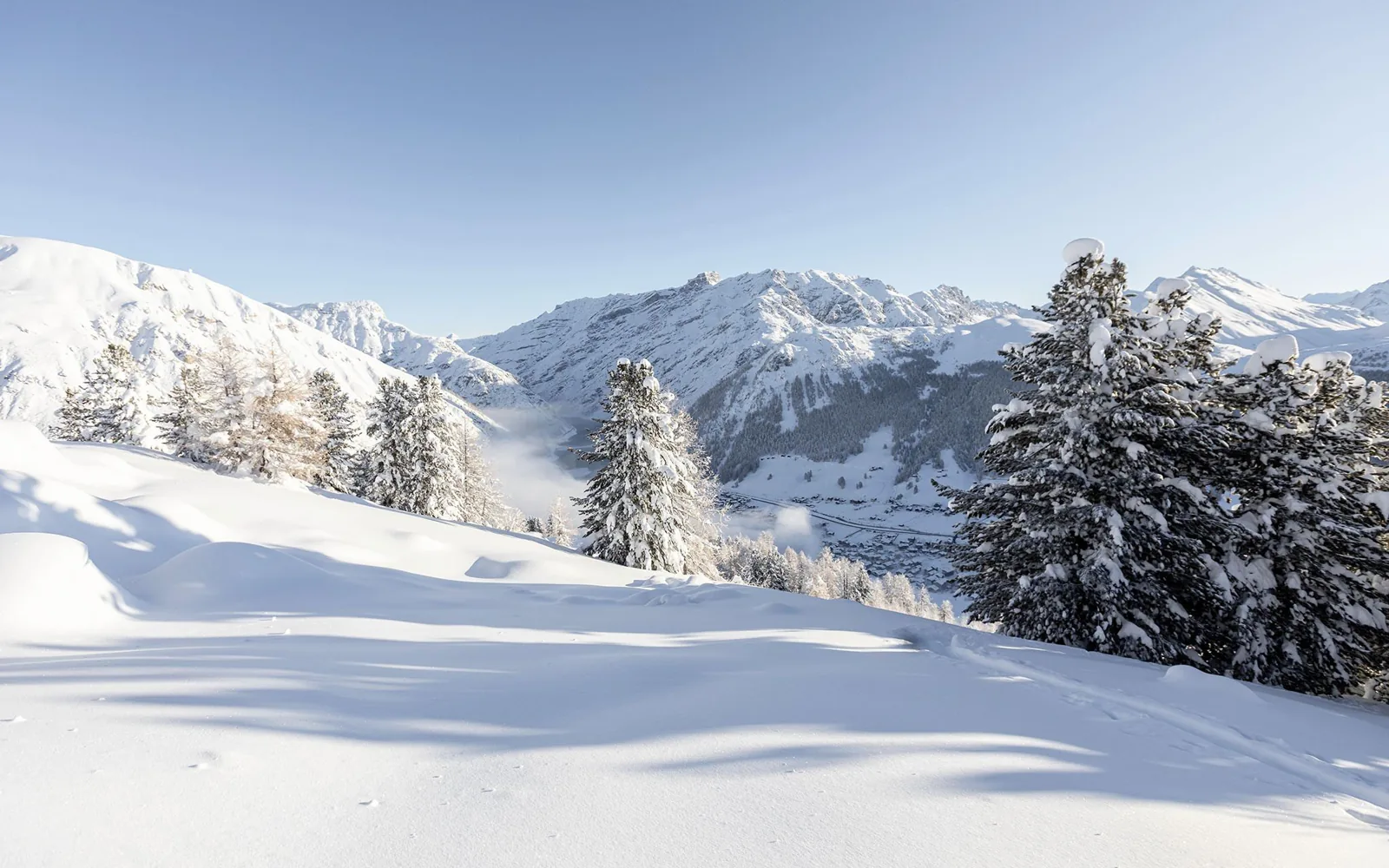
Livigno and beyond
A valley for every season
Mountain paths and cycling routes in summer, skiing and snow walks in winter. Choose a season for ideas, maps and official information.
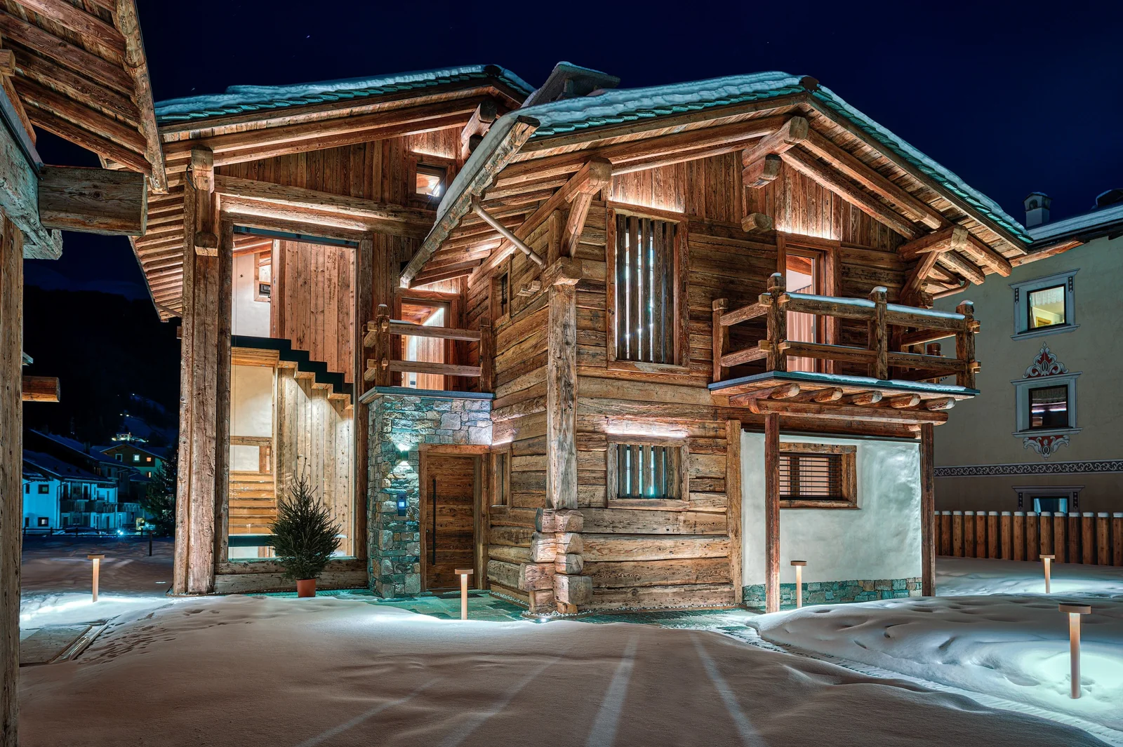
Trails, larches and mountain huts
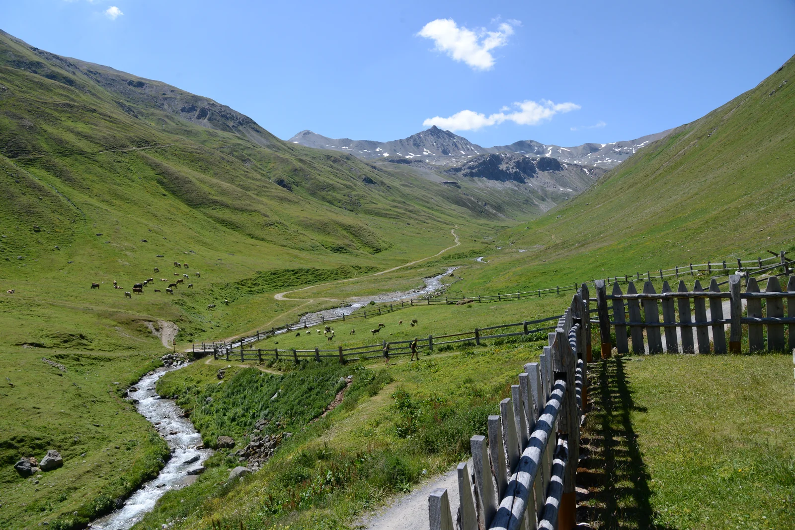
Selected summer lifts take hikers and cyclists up the mountain. In the valley, Larix Park offers treetop courses, while the dairy and the Museum of Livigno and Trepalle share the area’s story.
Ski runs and snowy walks
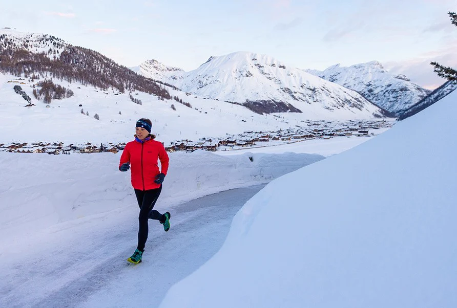
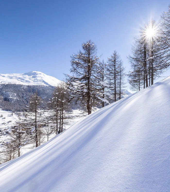
Ski runs cover both sides of the Livigno valley, which also offers cross-country skiing and signed routes for snowshoeing and fat biking. For a day trip, the Bernina Line connects Tirano and St Moritz.
Official maps · Livigno
Three routes in the valley
23.3 km, 256 m elevation gain. The map uses Bike Skill Center as the route and elevation reference.
Open the official bike map Mountain bikingSentiero d’Arte16.6 km, S1 technical difficulty according to Livigno’s official bike map.
Open the official bike map On foot · trail 115Cascata Val Nera2.9 km one way, 1 h 10 min, +250 m. Listed start at Al Vach, P8.
Open the official trekking mapRoute distances come from Livigno’s official 2026 maps. Check access and conditions before setting out.