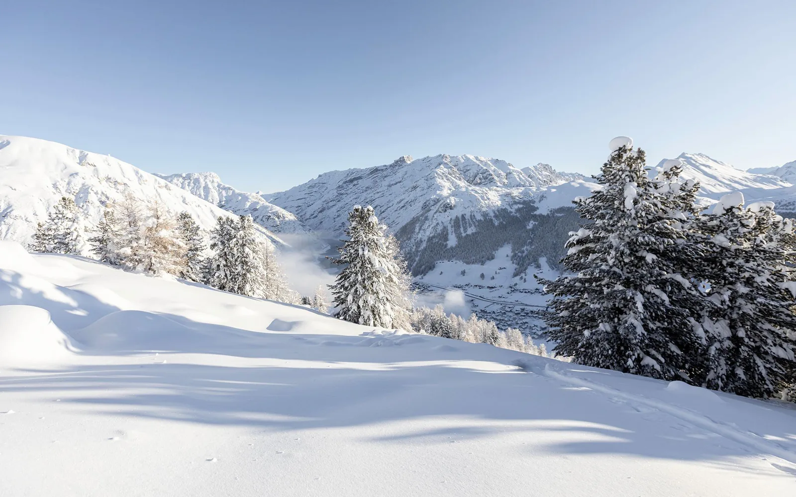
From Italy
The route from Bormio passes through Valdidentro, Foscagno and Trepalle. Weather and road conditions should be checked before departure.
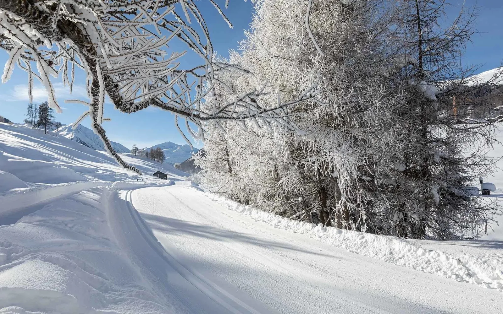
The location
Via Olta 216 in Livigno. The map and nearby landmarks help plan the journey.
Livigno
From the chalet in the northern part of the village, days can lead towards the slopes, the centre and the valley’s trails. The map brings together useful landmarks; distances are approximate and measured in a straight line.
Livigno
Via Olta 216 · 23041 Livigno
Approximate straight-line distances; actual routes may be longer.
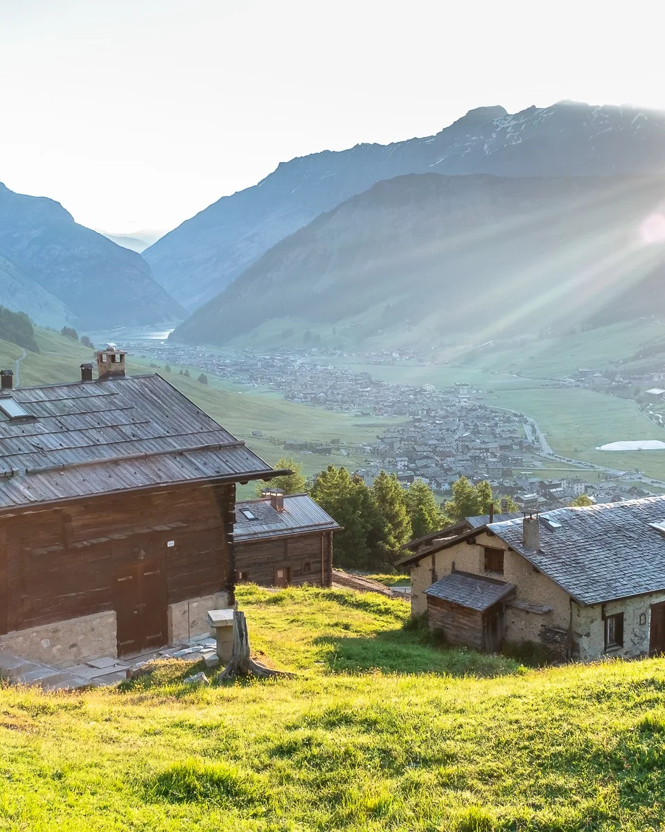
The valley brings together landscape, village life and outdoor activities. AKChalet’s official photographs show its changing perspectives throughout the year.
The journey
The route from Bormio passes through Valdidentro, Foscagno and Trepalle. Weather and road conditions should be checked before departure.
Check opening information for the Munt La Schera tunnel and Forcola pass. Forcola is a seasonal connection.

An autumn photograph from the official archive. Landscape and road conditions change with the season.